Saturday, May 15, 2010

Repetitive Week, all in all

It seems like we did the same routes this past week, but I know differently.

We twice went out by Ballston Lake for BugLine routes and twice we went out across the Rexford Bridge to turn right at the Stewarts Shops onto Riverview Rd. We've done these routes so many times it seems like all the same rides.

We did one the normal rotation, as seen from above the earth's surface, looking down, clockwise.

It had been a while since we'd been to Jonesville, so we did this one late in the week . . .

One regular route, much like many weeks in harness.

And a trip around the lake, Ballston Lake:
http://www.mapmyride.com/route/us/ny/niskayuna/174127397365749209#success


Bien, au revoir, bonne journee, bonne route

Saturday, May 8, 2010

Maniacal Chase after Dave

Noontime ride, no sweat, right?

Ha.

We planned to do the standard http://www.mapmyrun.com/route/us/ny/niskayuna/886127333331216373 but with the twist that David was back from his business travel . . . Ohio? He was glad to be back and to show us how happy he was he left us all in the dust. The route takes us up onto the bluffs above the Mohawk and once up there we have flat to descending, with rolling terrain until one reaches Sugar Hill Rd. (L) and the access road to the Vischer Ferry Power Station.

He felt great to be back on the road, and to celebrate he wound it up to 29 or 30 mph on that well-worn section of pavement. We spread out as the speed increased, and folks fell off the back. By the time we made it to the left-hand turn, we had 1, then 1, then 2 then 1 last one. 'I don't have that gear,' someone screamed into the noisy background of rushing air past the helmets. I laughed. No one has that gear. And crank.

We turn north at the intersection and mosey on up the little approach bit to peak out in front of one of the apple farms, then drift down past Ray Rd. (to the right), to approach Grooms or Rte 91.

Once there, I look down at the moment when everyone else moves across the busy road. I fumble for stance and apply a push on the pedals, not yet engaged in clipless, and so we rejoin the fight.

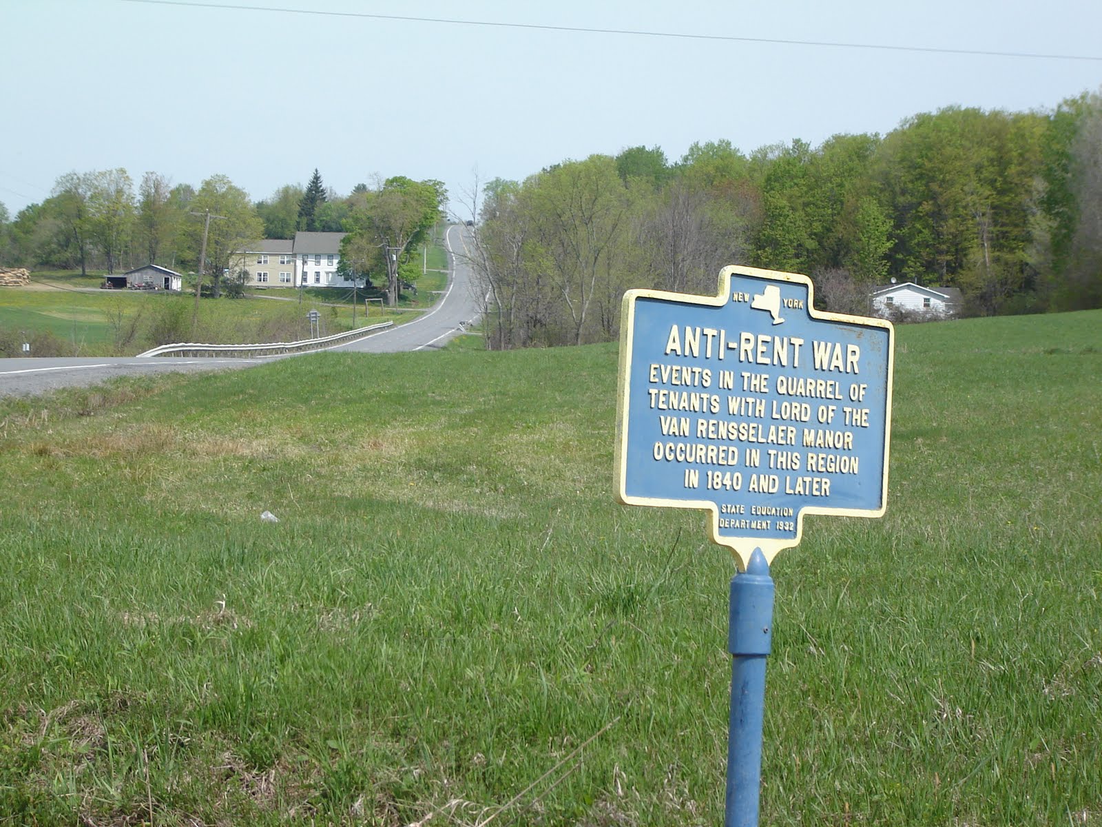
Again the pace is increased as we go north along Miller Rd. to the Waite Rd. left-hand turn, just on the other side of the residential developments, the old farms, onto the downhill stretch we always do at 26 mph. The old house on the right at the intersection with 146 is now gone, and in its place since the work began last fall, are new apartments. They stand three stories tall and well help relieve the housing pressure due to the slowing pace of home building, and reduced job opportunities, but won't beautify the route!

Once across 146, we're on the rise, down the hill, and around the bend to cross the railroad tracks. We are occasionally prisoners of the train schedule and from time to time, there are some train spotters.

Left onto 146A to wind up the hill past the seasonal gardening store, named after the two proprietors, no doubt, and roll on down to Ashdown's left at the light. We all keep an eye on the oncoming traffic from down below at the village Ballston Lake.

A quick look to the right reveals a northeast direction view of the Glenville Hills. Once along past the bridge over the railroad spur headed east from Schenectady to Mechanicville, we are on to the Blue Barn itself. Left up the hill to get us out of the last bit of the valley or low stream conduit, we look over Hyde's wares. Boats, mostly, and of course the consignment shop outside in better weather.

Down the hill at well above 30 mph, the sport is to keep up with traffic headed south to the Rexford Bridge, into Niskayuna, from Clifton Park. He hit all the lights while green and break some sort of modest record for steaming past the another garden center, post office, fire station, Dunkin' Donuts (where we never, never stop during the Tour de Doughnut de Cidre event in the fall, to my surprise), Stewarts Shops, Rexford Mansion, to the bridge itself.

The city of Niskayuna is working on the bike trail and so passage by familiar right hand turn past the boat house, left onto the trail across the Aqueduct Rd. traffic is not NOT an option. We don't want to do the Rec Center, either, so it's across the Balltown Rd. traffic. What a mess. What a risk!

The rough gravel still lies in wait for the unsuspecting and it will be there all summer, goes the TiMan's prediction. He isn't out today but we can remember his words.

Blown out by the ride's three big pushes, we stand at the top of the hill huffing and puffing.

Sunday, May 2, 2010

Westerlo from Voorheesville and back


So it's getting hot and humid, for the first time this season, it's around 80 by 10 am. I head out in the car with the bike stashed in the back. I don't want to do the commute via King's Road, it's a mess, bumping and icky, so I zip up to the Voorheesville town park just off the path headed up the hill to the Thacher State Park turn off.

New Salem is left in the dust at the base of the hill and I take on the climb up to 85 and Thacher Rd. turn off. I keep going. From here all along the approach to the 'T' with 443, one can see cuts in the road that shows off the shale. The sedimentary layers are open for all to see along the road cuts, and where the stream Onesquethaw cuts through.

http://www.mapmyride.com/route/us/ny/voorheesville/237127283759430278

I continue climbing once past the Stewart's on the corner, following 443 and 85. Angle off on 85 and the climb peaks out at Co Rd 11 and the flat begins, then starts to drop. It's a note of hope that one day I'll finish. 45 minutes by this time. I come to the intersection with Route 1 or Switzkill and see the sign post for the Rent Wars.

History noted, I turn left or south and head down hill. I start looking for Westerlo. And got there! Quaint place. Public Library museum and post office on the corner with the main street and the route I was taking. http://www.townofwesterlony.com/museum.html

Onward on 143 south and east now with climbs and rollers. Fun. Just before Dormansville I see my turn off for 312 going north. It's getting late, as planned outing was to be 2 hours. It's 1 hour 10 or so, already. It's flat then a dip into the stream / valley, then up a hill. A long one. At the peak of the hill, Dunbar Hollow or Tower Rd. as in microwave tower hill top installation . . . I take a snap of the view to the north mostly toward Clarksville.

I look down at the odometer halfway down the hill: 80 kph!! Damn. 50 mph. I roll into the intersection with 443, turn left for a short stroll up to the Stewart's at the 85 intersection. Right and down the approach I just did uphill! toward Voorheesville (the town park is marked New Scotland Town park on the map).

Next trip, farther west to the Schoharie town and river valley, the return via Route 7 perhaps. Nice ride.

Saturday, May 1, 2010

Nice, well-paced spin around the bridge loop

The day started well with weather warm enough to bring out the dandelions, les pis-en-lits, partout! We had breakfast, bagles, cream cheese, then went out to root around in the garden. Remove some dandelions, repair an aneurysm in one of the hoses, fix the drip at the spigot to the garden, and dig up some sod. . . getting ready for the path.

Lunch came when Gisele came home. . . then we were off for a 30 miler around the bridge route. Familiar to all (http://www.mapmyride.com/route/us/ny/niskayuna/690127276684917184) it is still a nice ride. We took it at a two hour pace. We had a chance to look through stuff at garage sales along the route, check out the state of the construction going on just outside the development Shaker Bay (new sewage treatment plant facility), and find something new at most junctures. The old Saratoga Winners tavern / venue is settling into ashen dark remains. The riverside land is drying out. All the docks are in at the two or three marinas we can see along the Mohawk. I saw a duck sitting on a nest to the north of Clamsteam in a big of low swampy land next to the road. A couple of fishermen graced the northern side of the road, closest to the Vischer Ferry wetlands. The 1880 in slate still stands near the entrance to Vischer Ferry, the village. The riding clothier's shop was open for business. David's white bike had been repainted "6-29-2004" marked the tragic date.

We cross Rexford Bridge and turn left, of all things, to avoid the construction on the trail up near the crossing point uphill from the boathouse. Thomas crabs at me. 'Nuts' by way of assessment of the route.

We're home by 3:30 pm so we can make it to Marche 74 for dinner early by all civilized standards.

Restaurant Week Albany!!